
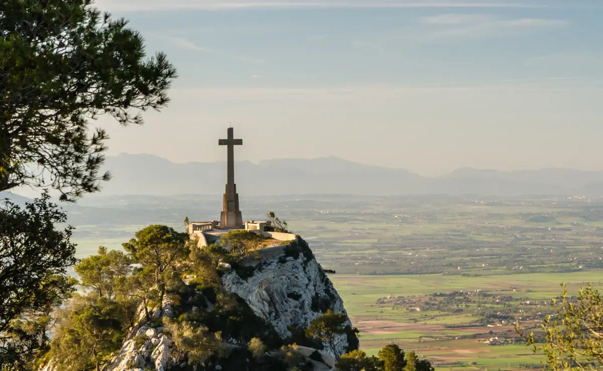
The longest walk that starts in the town: from Portocolom to the sanctuary of Sant Salvador, on top of the hill of the same name at 509 metres. As far as S’Horta it follows the walk to that village; from there it heads for the Felanitx–Portocolom road and climbs to the sanctuary. It is about 18 km each way with more than 500 metres of ascent, so plan a full day.
The route
- Portocolom to S’Horta (about 7 km). Via Cala Marçal and the dirt track, as on the walk to S’Horta.
- S’Horta to the Felanitx road. In S’Horta, head towards the football pitch and follow the paved lane towards the vegetable plots. At the first turning on the right, follow the signs to the Felanitx–Portocolom road.
- The climb. From there, signs for Sant Salvador lead to the summit. From S’Horta to the sanctuary is about 11 km, according to OpenStreetMap.
A shorter option: from Felanitx
From the centre of Felanitx, by the church of Sant Miquel, the Camí de Sant Salvador climbs to the sanctuary in about 4.8 km. Coming down by another path and back to the centre makes a loop of about 11.4 km.
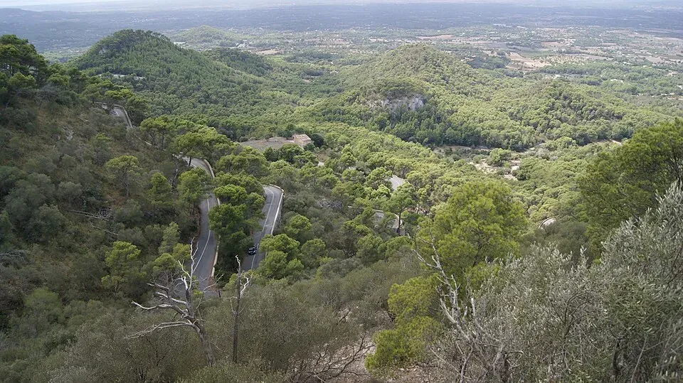
You can also drive up to the sanctuary on a winding road. The turn-off is on the Felanitx–Portocolom road (MA-4010), about 800 metres after leaving Felanitx.
What’s at the top
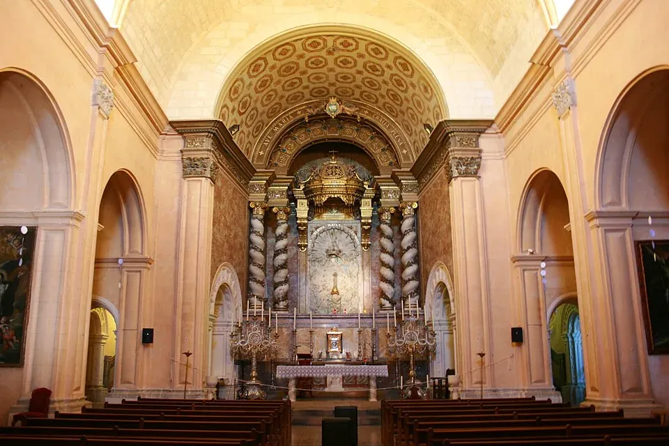
- The sanctuary. It dates back to 1348, when Peter IV of Aragon granted Felanitx the right to build a chapel here as protection against the plague. Its present appearance, including the guesthouse, comes from rebuilding work between 1707 and 1716.
- The Christ the King monument. Dating from 1934 and by Tomàs Vila: a seven-metre copper figure on a 37-metre structure, at the southern end of the hill.
- The Creu del Picot. The cross on the northern spur, put up in 1957.
- The wayside chapel. The small chapel by the road, from 1910, marks the spot where, according to tradition, a shepherd found the image of the Virgin.
- The views. On clear days you can see Portocolom bay. There is a picnic area under the trees; in 2011 the sanctuary also had a café and restaurant, so check what is still open.
Before you set off
- Plenty of water, food, suitable footwear and sun protection.
- In summer, avoid the middle of the day.
- Plan your return: the same way back is another 18 km. One option is to arrange a lift from the sanctuary.
- Distances are approximate, measured on OpenStreetMap. Respect fences, private land and signs.
Photo credits
- Header photo: Friedrich Haag, Wikimedia Commons · CC BY-SA 4.0 · adapted by Portocolom.online
- The view from Puig de Sant Salvador: Asurnipal, Wikimedia Commons · CC BY-SA 4.0 · adapted by Portocolom.online
- Inside the sanctuary church at Sant Salvador: Frank Vincentz, Wikimedia Commons · CC BY-SA 3.0 · adapted by Portocolom.online


