
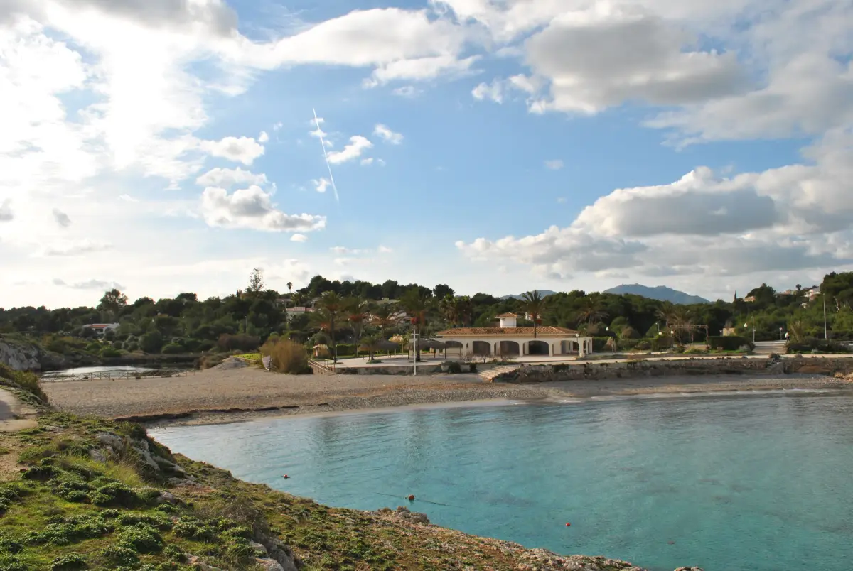
The walk from Portocolom to Cala Murada follows the coast north. It starts at the harbour, passes the lighthouse area and the cove of s’Algar, then continues on a coastal path to the beach at Cala Murada, which already belongs to the municipality of Manacor. It is about 4.6 km each way.
The route
- Harbour to s’Algar. From the quay, head for the old harbour and turn towards s’Algar, through the streets leading to the lighthouse on Punta de ses Crestes. At s’Algar there is a small cove where you can swim.
- s’Algar to es Riuet. The path follows the coast past Penyal Roig and Ses Partions Noves, where the boundary between Felanitx and Manacor runs. At es Riuet, according to the hotel association’s description, you pass a barrier on the left and follow the track to two walls near the road.
- Arriving at Cala Murada. Turn left along the road to the beach.
Distance and time
About 4.6 km each way, according to OpenStreetMap. The newspaper Última Hora, which described the route in 2021, put the outward walk at about two hours and rated it easy, with the path marked by stone cairns.
Take care
- In places the path runs right along the cliff edge. Keep an eye on children and dogs, and stay back from the edge.
- Closed shoes, water and sun protection. Water is only available in the built-up areas.
- Return the same way. There are bus stops in Cala Murada; if you want to come back by bus, check the TIB website beforehand for a service to Portocolom that day.
- Respect fences, private land and signs. If a gate is closed, do not force it.
Cala Murada
Behind the beach there is a lagoon fed by the Torrent de Fangar, where you can see birds. Cala Murada has its own page in the nearby towns section.
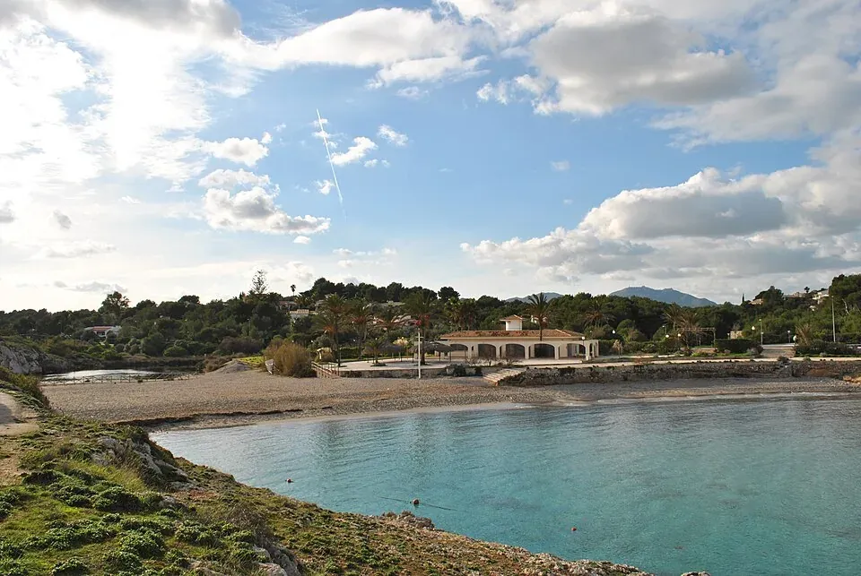
Photo credits
- Header photo: Mallorcagallery, Wikimedia Commons · CC BY-SA 3.0 · adapted by Portocolom.online
- The beach at Cala Murada: Mallorcagallery, Wikimedia Commons · CC BY-SA 3.0 · adapted by Portocolom.online

