
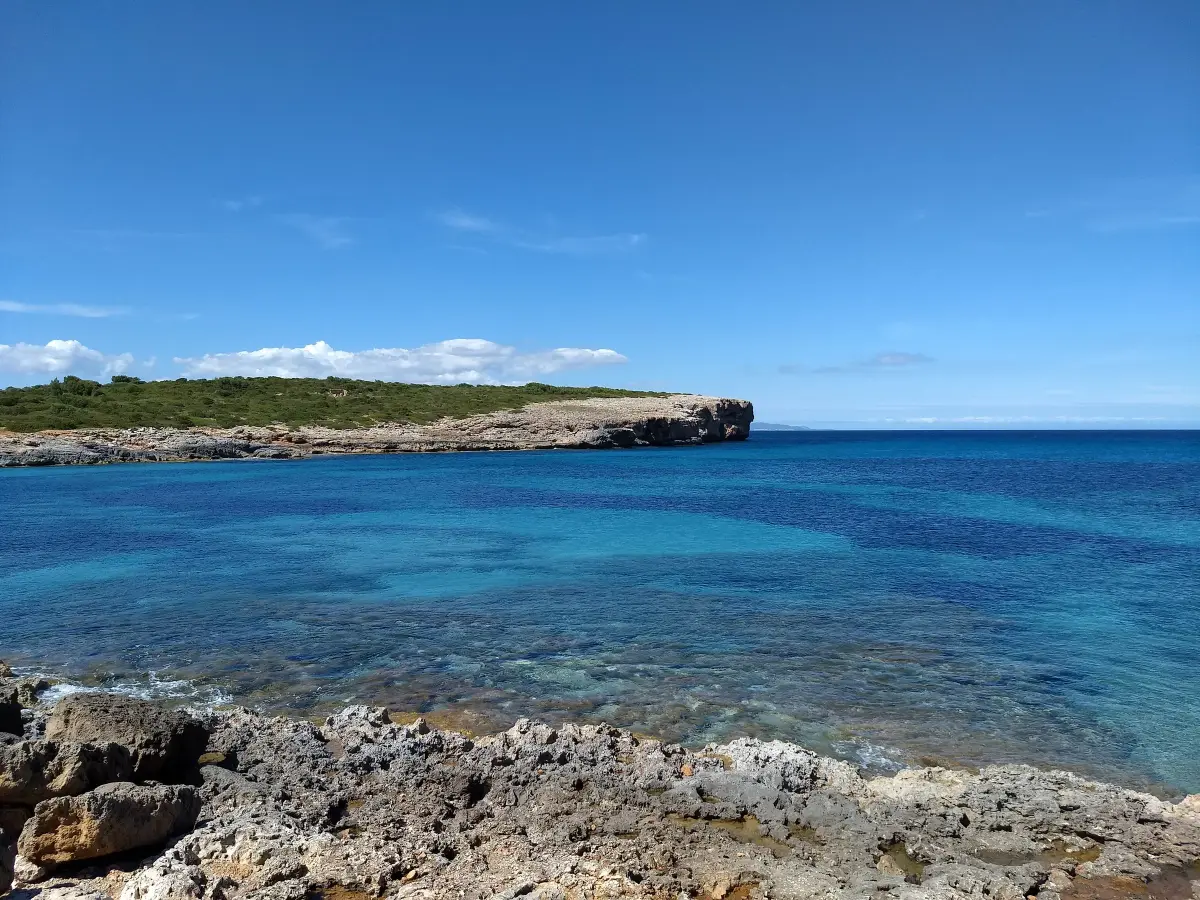
S’Algar is the first cove you reach after leaving Portocolom bay on the north side. It sits on the outer slope of Punta de ses Crestes, between sa Cova Gran and Cova des Bufador, and is the last beach in the municipality of Felanitx before Manacor. It is not a sandy beach in the usual sense: it is a rocky inlet where the sand comes and goes with the winter storms. It is about a ten-minute walk from the car park at Es Riuetó, because parking is not allowed on the track down to the cove.
The cove
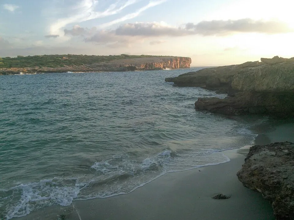
The Balearic beach catalogue gives it about 70 metres of fine sand, 6 metres wide (mallorca.com). That strip is not always there, though: depending on the winds over the year, the cove either has sand or is almost all rock. Around it is scrub and low cliff.
The seabed is mostly rock, with sandy patches and rock covered in posidonia seagrass. The water is usually clear and the shoreline is good for snorkelling (Illes Balears); see diving and snorkelling. Being outside the bay, it is more exposed to the open sea than the beaches inside the harbour, so with an easterly wind it is worth checking the weather first.
Water shoes help for getting in off the rocks.
Getting there
On foot
Access is via the Camí de s’Algar, a dirt track of about 400 metres that leaves Carrer del Far near Es Riuetó. At the end there are about 150 metres of footpath down to the rocks. From the harbour quay to Es Riuetó it is just over 2 km by road around the north side of the bay.
The cove is on the Portocolom to Cala Murada walk, which carries on north along the coastal path.
By car, and where to park
Since 2024 a municipal by-law has banned parking along the whole of the Camí de s’Algar, which crosses a protected area, and set a 20 km/h speed limit (BOIB). Fines run from 100 to 200 euros. The practical option is to leave the car in the Es Riuetó car park, at the start of the track, and walk down. The map on this page shows both. More options in parking in Portocolom.
By boat
You can also come by sea from the harbour. Anchoring on posidonia is banned in the Balearics, so the anchor goes in the sand. Trips and boat hire are covered in boat trips.
Facilities
None: no sun loungers, no bar, no toilets. Bring water and shade, and take your rubbish home.
The name
The usual explanation is that algar comes from alga, seaweed, after the seaweed and plant debris the sea piles up on the shore, which local farmers once collected to fertilise their fields. Another theory traces it to the Arabic al-ghar, “the cave”, after the caves along this stretch of coast (Viquipèdia). For the name of the village itself, see why is it called Portocolom?.
Before you go
- Accessibility. Dirt track, footpath and rock: not suitable for wheelchairs or pushchairs.
- Crowds. Illes Balears describes it as a quiet cove used mostly by anglers and locals, but the beach catalogue rates it as busy in season. In July and August, don’t expect to have it to yourself.
- Sat nav. There is another cove called s’Algar near Sant Elm. Search for “Cala de s’Algar Portocolom”.
Nearby
Inside the bay are Es Riuetó, with its boathouses, and the small beach at Es Babo, on the way to the lighthouse. The village’s best-equipped sandy beach is s’Arenal. All the coves in the area are in the beaches section.
Photo credits
- Header photo: Janis Black, Wikimedia Commons · CC BY-SA 4.0 · adapted by Portocolom.online
- The shoreline at s’Algar: RafelJuan, Wikimedia Commons · CC BY-SA 3.0 · adapted by Portocolom.online


